
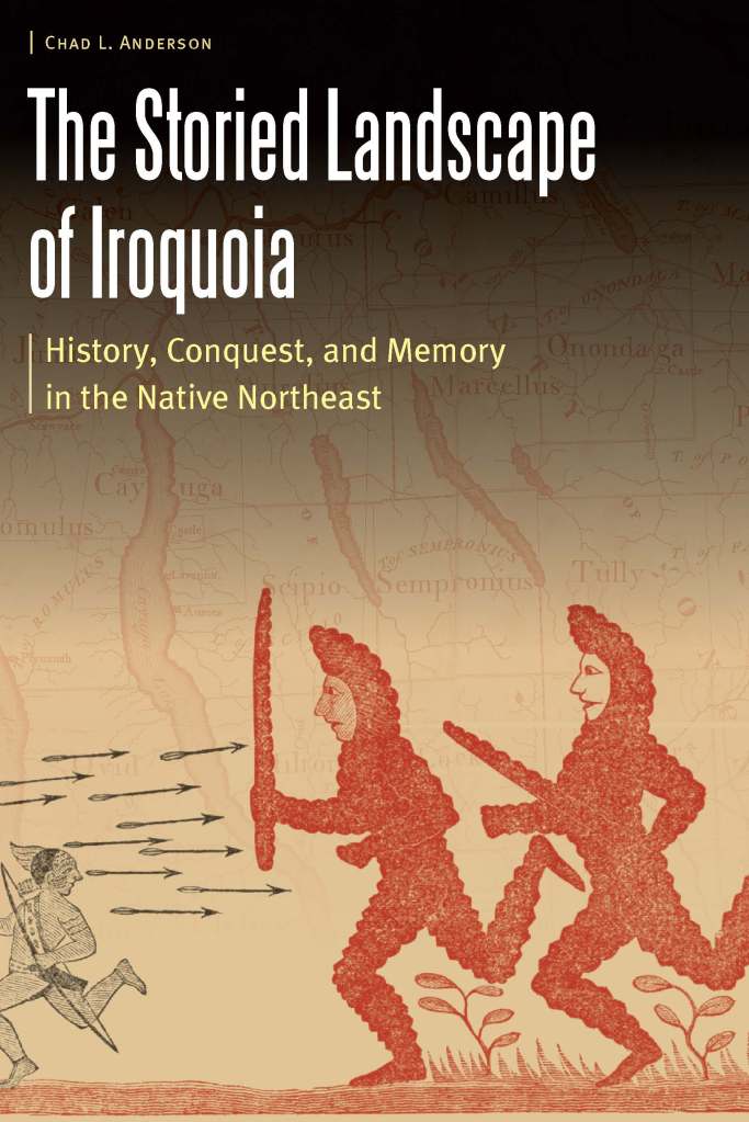
Chad L. Anderson is a visiting assistant professor of history at Hartwick College. His article “Rediscovering Native North America: Settlements, Maps, and Empires in the Eastern Woodlands” won the 2017 John Murrin Prize from the McNeil Center for Early American Studies at the University of Pennsylvania. He is the author of The Storied Landscape of Iroquoia: History, Conquest, and Memory in the Native Northeast (Nebraska, 2020), which is a part of the Borderlands and Transcultural Studies.
The title of my book The Storied Landscape of Iroquoia hints at what I always liked about history—the story part of the discipline. With its geographic connotations, “landscape” might seem to suggest a different focus, but if you pay attention to how people interact with the places around them, you will find that there is quite a bit of storytelling happening every day. Sometimes these stories are connected to physical things: buildings, monuments, and changes to the natural landscape. But in other instances, people just know what happened somewhere, and they can tell you the story and give meaning to that location. In a basic sense, that’s what my book is about, but with a twist—what if you already had a storied land, a homeland full of meaningful places, and it becomes a different peoples’ homeland? Following the American Revolution, that’s what occurred across the homelands of the Haudenosaunee (the “People of the Longhouse,” also known as the Iroquois Six Nations).
My journey to Iroquoia started relatively late in its history, the 1790s, and began with questions I had when reading accounts by early white settlers in central New York state. They arrived in the decades following the American Revolution, a traumatic war that had divided the Six Nations and eventually led to the loss of significant portions of their homelands. Although we typically call the first Euro-American arrivals in these lands “settlers,” they were really arriving in previously settled lands, and it was striking to what extent they often recognized this fact—even when they didn’t. That is, I was interested in the contradiction of how settlers noticed (and sometimes even looked for) “Indian clearings,” where the Haudenosaunee had farmed, but later popular culture emphasized an empty continent. It was obvious that layers of history existed and there was more to the story than later nineteenth-century popular memories suggested. That’s where I began my research.
I needed a guide, and fortunately found one in 1750: a Cayuga man named Hahotschaunquas, who led two Moravian missionaries, John Frederick Camerhoff and David Zeisberger, to Iroquoia. We know the details of this journey because the Moravians, specifically Camerhoff, kept a diary. Much about their story was remarkable. To begin with, I was fascinated by the logistics of the trip and how much luck plays a role in what we know about the past. Here were two missionaries anxiously waiting by the Susquehanna River in Pennsylvania for a man from a distant place, both culturally and geographically. Hahotschaunquas was a little late—rough waters from recent storms—but he showed up with his wife and two children, friendly and ready to take these two men on a journey. Then I was struck by the related facts that the missionaries were completely dependent on their guide to take them to Iroquoia and that Hahotschaunquas constantly talked about all of the places that they saw. That is, the missionaries had little practical knowledge of the land and they knew nothing of its history. Ever talkative, Hahotschaunquas provided all kinds of information on ancient sites, formerly inhabited villages, monuments to battles, place names, and even locations of personal significance (a spot where one of his children was born).
It was clear that the travelers were not visiting Indians living in the empty wilderness imagined by later Euroamerican settlers. In fact, they wanted to go to a specific settlement, Onondaga, the home of the Council of the Six Nations, and the Moravians were not the only ones interested in this village. During the mid-eighteenth century, diplomats, colonial governors, other Native peoples, and British officials across the Atlantic Ocean were concerned about decisions made at Onondaga. Situated in a key geographic location between New France and the British colonies on the eastern seaboard, Iroquoia was an essential part of the balance-of-power in North America. This significance would be obvious to anyone looking at the British maps of the period. One of the most famous, John Mitchell’s A Map of the British and French Dominions in North America (1755) features “IROQUOIS” in huge letters across the Northeast with a prominent capital (as Europeans would understand it) at Onondaga. This was Iroquoia at the center of eighteenth-century imperial geography, a region that at the very least appeared to rival in significance the more familiar English colonies of the Northeast: New York, Pennsylvania, and so forth. And as Hahotschaunquas knew, Iroquoia had an ancient, enduring, and dynamic history written on its lands.
Back to where my research started—Euro-Americans talking of an empty wilderness, even as they settled in previously inhabited village sites—the key analytical concept of history is continuity and change. Nothing begins anew, even when people claim something is “Revolutionary.” Perhaps this is an obvious argument, but it’s one that Americans can struggle with because their nation was founded on the promise of beginning the world “over again,” as the famous revolutionary Thomas Paine put it. The central concern of The Storied Landscape of Iroquoia is the fate of Hahotschaunquas’ world in the aftermath of the American Revolution. The war itself and those “settlers” of the 1790s all caused a significant but not complete erasure of the Haudenosaunee’s landscape. Even as the Haudenosaunee adapted, Euro-Americans began talking about how Indians would go extinct, that they lived like the vanishing wolves and the just discovered extinct mastodons. Even so, people still had plenty of stories to tell about the Native landscape. A famous but mysterious Haudenosaunee landmark, the Painted Post, became the focus of a web of wild stories about what had happened during that war and what it meant for the future of Indian-white relations. By the early 19th century, Iroquoia’s ancient landscape attracted widespread attention as Euro-American intellectuals and, significantly, one of the earliest published Native American historians, David Cusick, debated who exactly had first settled ancient North America and what they had built. Finally, it’s from Iroquoia’s storied hills that America’s most successful new religion emerged: the Church of Jesus Christ of Latter-day Saints (Mormons), with early followers very much interested in the ancient landscape. All of these fascinating, complicated, and contested histories overlapped in one remarkable place: Iroquoia.

Mr. Anderson, I’ve had a keen interest in early travel and accounts from upstate NY, especially Finger Lakes Region. Principally, I have focused on the 18th Century, and much of my research concerns a trading post that was located at Clyde, NY in Wayne County. Very little is known about the post outside of the research I’ve gathered, but some of it intersects with the 1750 account mentioned in your blog post. This may ruffle some people’s feathers, but I strongly believe that the Cayuga village of Nuquiage was at present-day Clyde, not on Seneca Lake; I also believe Lake Nuqiuage was the Galen Marsh / Marengo Swamp located just upstream of Clyde, and was not Seneca Lake. The French trader on the bank of “Ganazioha Creek” was actually on Ganargua Creek – an early name given the Clyde River. The direction and distances of travel given by Cammerhoff, and the fact that they were in a “Dry Desert” (the dry Montezuma Marsh in the Town of Savannah, which takes its name from the topography), precludes their having traveled the normal route along the Seneca River between Cayuga and Canadesaga. I live in Lyons, and work in Clyde, and have studied the early accounts and compiled some interesting information about the little-known Clyde Blockhouse. Two of the more interesting revelations are that in 1709, the assassination of Louis Montour at Ossaroda seems to have been at Clyde, not Sodus Bay. And, in 1756 a fort and trading was reconstructed at Clyde, then called Sodoms, which was one of Sir William Johnson’s “Indian Forts”. Sodoms was at the boundary of Seneca and Cayuga territory; the fort was built at the Cayuga’s request, on land that was nominally Seneca. This is one of the reasons the history of the Clyde Blockhouse has been difficult to decipher. In any event, I would be happy to discuss my research (and yours) if you are interested. Thank you for your time.